Lusaka, 14 Feb 2011
Work now has me travelling for extended periods to Zambia again, where I am based in the capital, Lusaka. My colleagues and I decided to make use of a free weekend to visit the Victoria Falls. It was my 6th visit to the Falls but none of my colleagues had been before, so I left the Canon equipment behind and only took with me a small pocket digital camera as it was to be essentially a ‘tourist’ weekend.
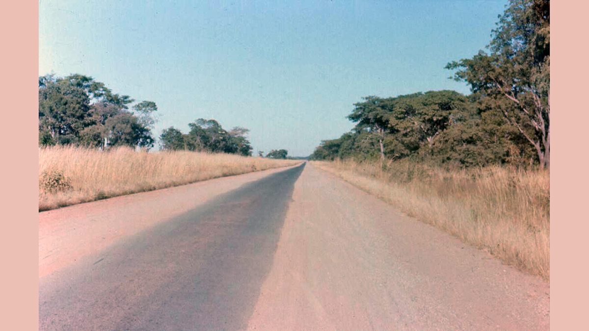
We drove down on Friday from Lusaka to Livingstone, where the Victoria Falls are, taking just over 6 hours to complete a drive of some 480km. Not so easy back in 1974 when I first visited the Falls from the Copperbelt. Parts of the Lusaka-Livingstone road were still ‘tar strips’. When two vehicles approached each other from opposite directions, local driving etiquette dictated that both drivers maintain speed on the smooth asphalt until the last possible moment, before veering left so that their passenger-side wheels dropped onto the parallel dirt/gravel verge while keeping their driver-side wheels on the tar. Once passed, both vehicles would swing back onto the centre strip. Needless to say, this made average speed much slower.
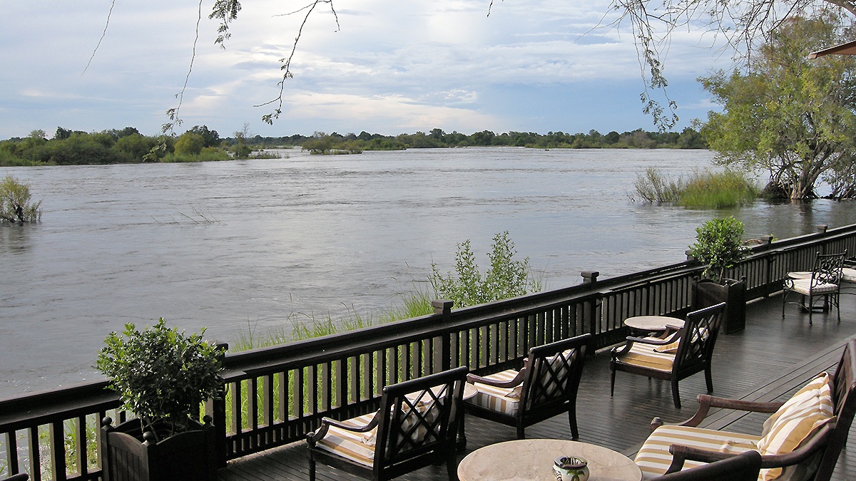
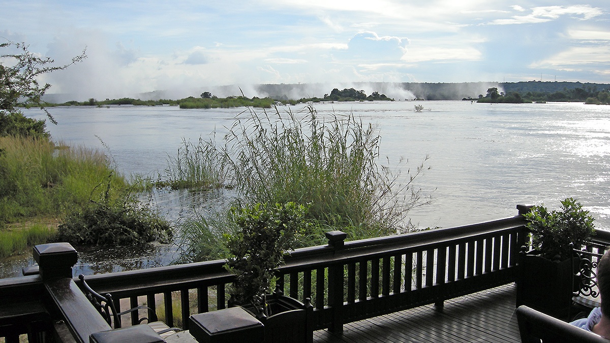
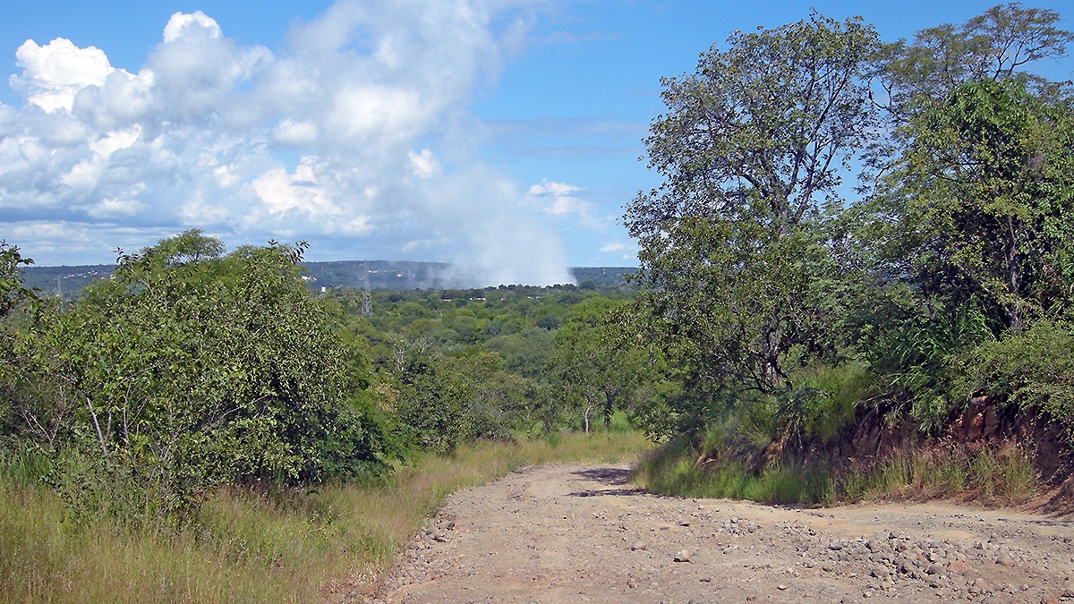
We stayed at the Zambezi Sun Hotel (now Avani Victoria Falls Resort), the closest hotel to the Falls, although you can’t actually see them from the hotel. So, after checking into our hotel we drove to the next hotel upriver for sundowner drinks. The Royal Livingstone Hotel has a deck right on the bank of the Zambezi River, with a magnificent view of the Falls. More precisely, it has a view of the spray thrown up by the Falls, which give them their name in the local Lozi language, ‘Mosi-oa-Tunya’, translated as ‘the smoke that thunders’. At this time of year, well into the rainy season and approaching peak discharge at the Falls, the spray can be seen from quite a distance away. We enjoyed our sundowner here so much we were back the next evening too.
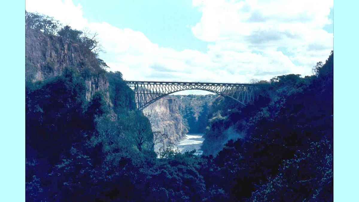
On Saturday we took a helicopter flight to see the Falls from the air, from all angles too. From a distance, from above, from upriver, downriver, the Zambian side and the Zimbabwean side. The Victoria Falls lie on the international border between the two countries, which are linked via the famed Victoria Falls Bridge, spanning the gorge just below the Victoria Falls.
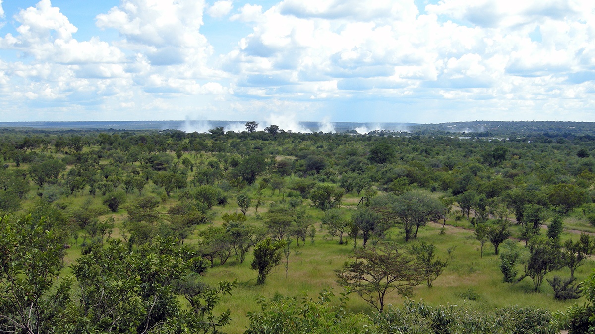
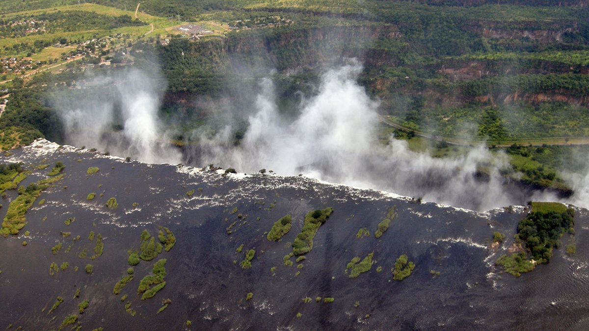
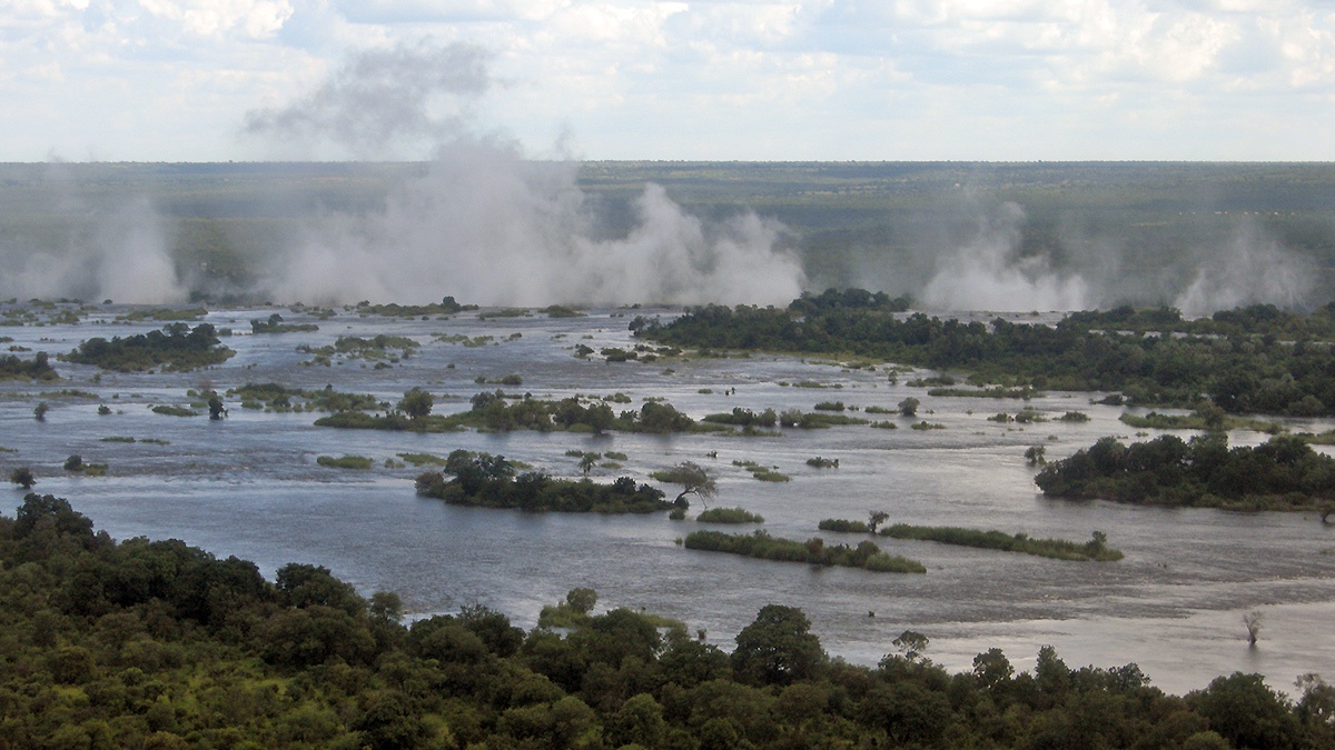
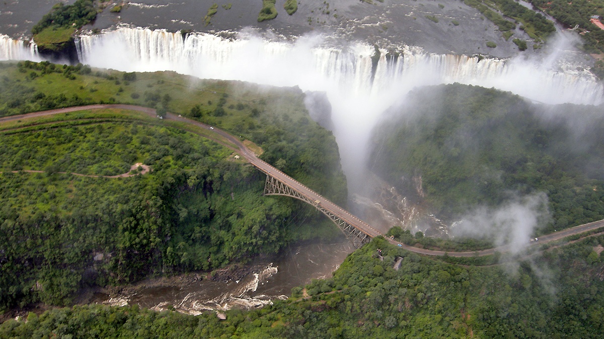
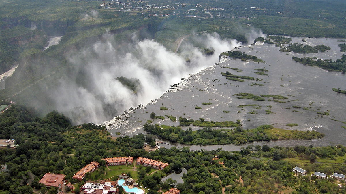
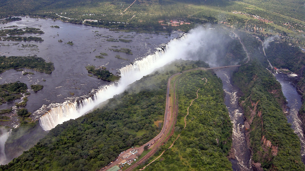
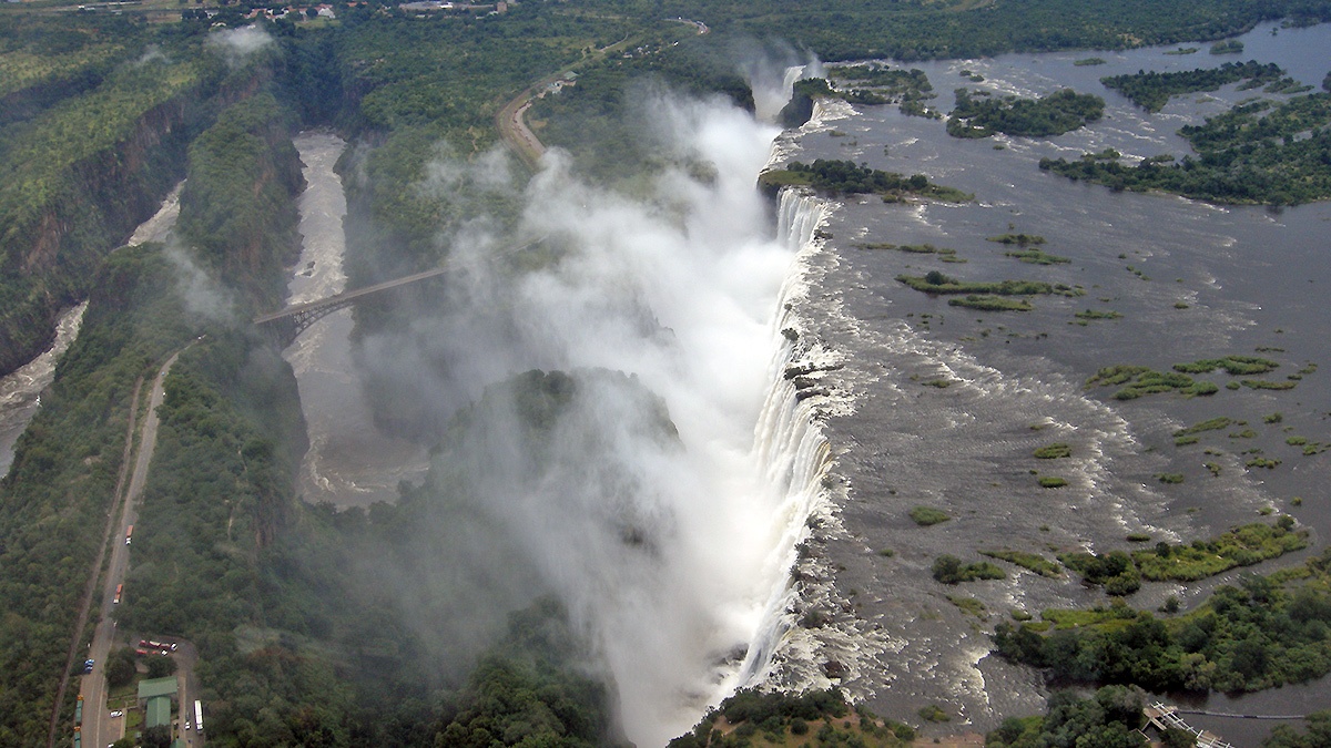
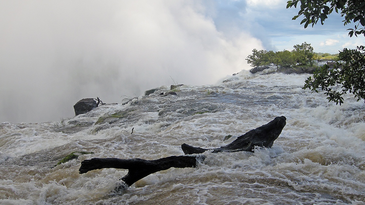
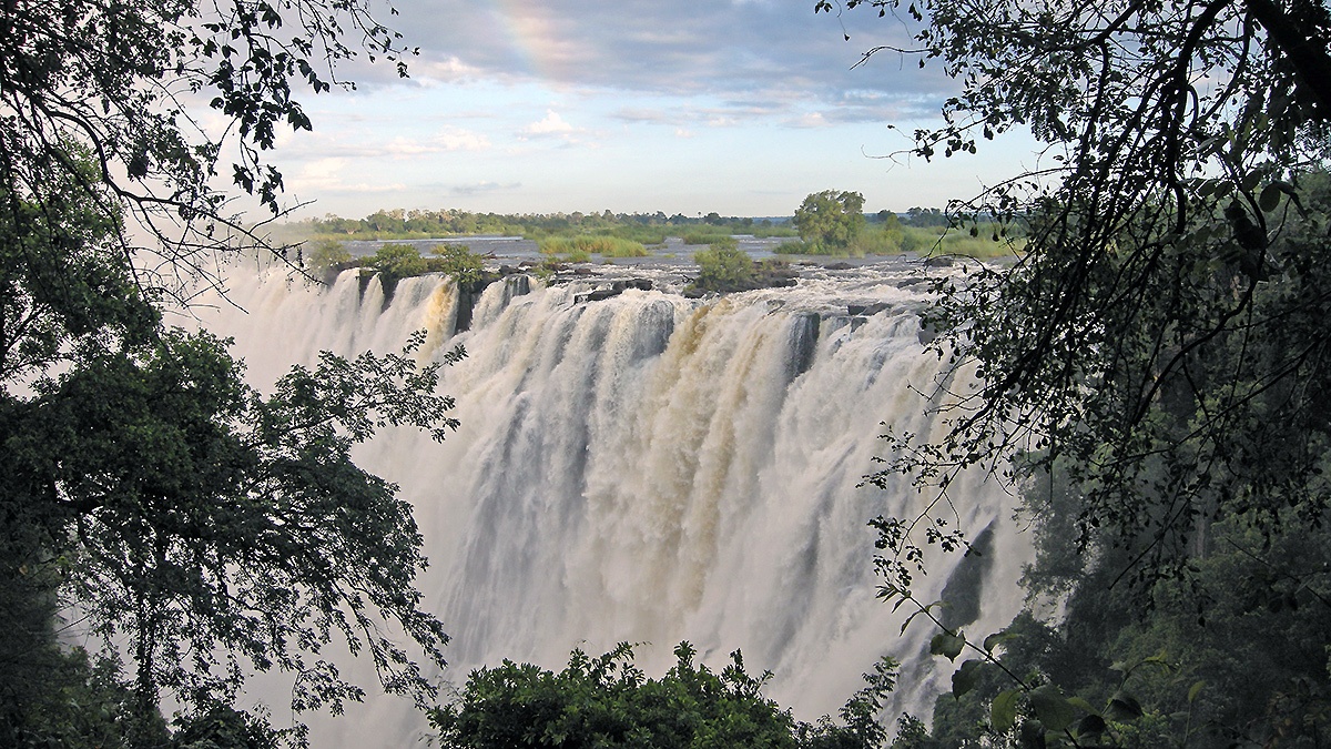
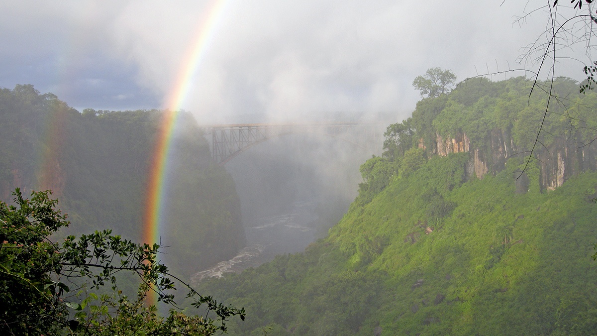
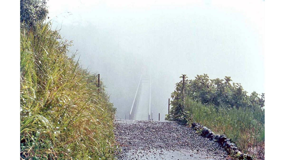
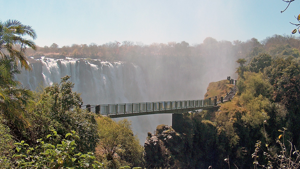
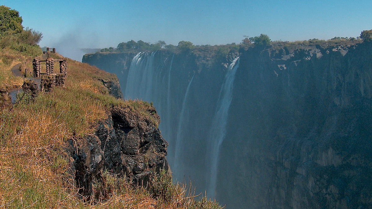
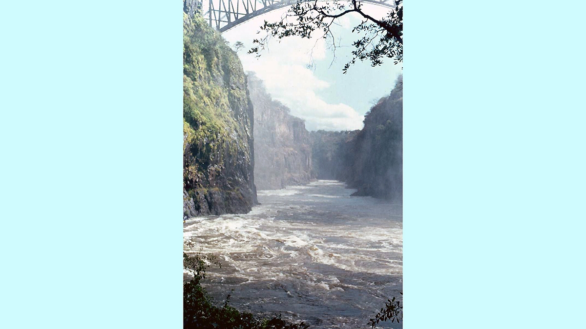
On Sunday morning we viewed the Falls from the various vantage points along the footpaths on the Zambian side of the Falls. First is a viewpoint at the eastern end of the lip of the falls with a view right along the Falls (when there is no spray). Next, one of the classic views of the Eastern Cataract, the easternmost portion of the Falls. Then a view downriver, along the gorge spanned by the Falls Bridge. The path then crosses a minor gorge on the Knife Edge Bridge, which at peak discharge requires raincoats and waterproof bags for camera equipment, but is much more user-friendly at lower discharge. Once over the Knife Edge Bridge the viewpoints give close views of the next sections of the Falls, known as Rainbow Falls and Horseshoe Falls.
As we still had to drive back to Lusaka we did not have enough time to take the slightly more strenuous path down into the gorge, to the Boiling Pot. This path affords some great views of the Falls Bridge from beneath and from the Boiling Pot one can look under the bridge along the gorge. I had walked this path back in 1974 and also in 2004.
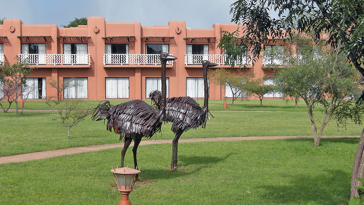
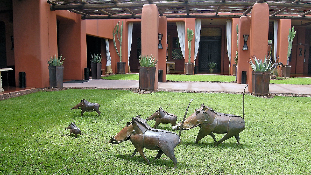
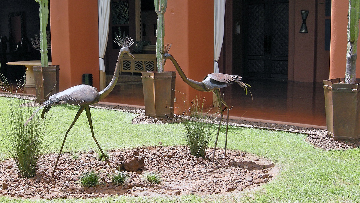
The only ‘wildlife’ photos that I was able to take during the weekend were of ostriches, warthogs and crowned cranes in the grounds of the Zambezi Sun. These, along with giraffe, kudu, impala, hippo and guineafowl are all fashioned from Zambian copper, produced on the Copperbelt where I worked as a mine geologist in my first job out of university, from 1973-78.